
Rephotographic expedition to the Faroe Islands
In the summer of 2021 we made a rephotographic expedition to the Faroe Island and rephotographed more than 200 historic images of the islands.
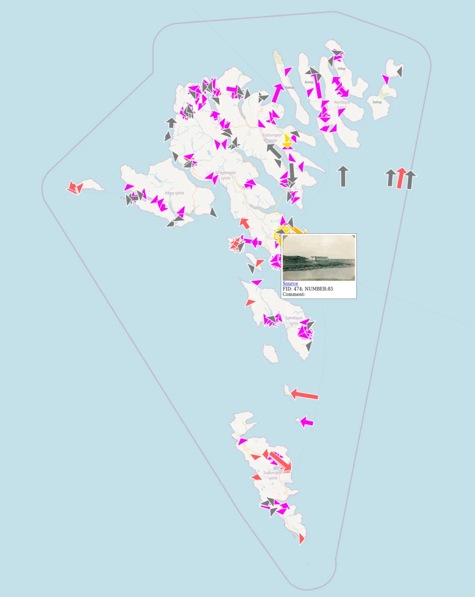
Beforehand the historic images were collected and georeferenced, i.e. finding the correct camera location and direction of view and adding the photograph to the digital map. Aerial- and satellite images as well as Streetview were a great help in this process, maybe also Sheepview.
After all historic photographs were georeferenced the journey could begin. On the Faroes we moved from island to island and searched for the historic camera positions.
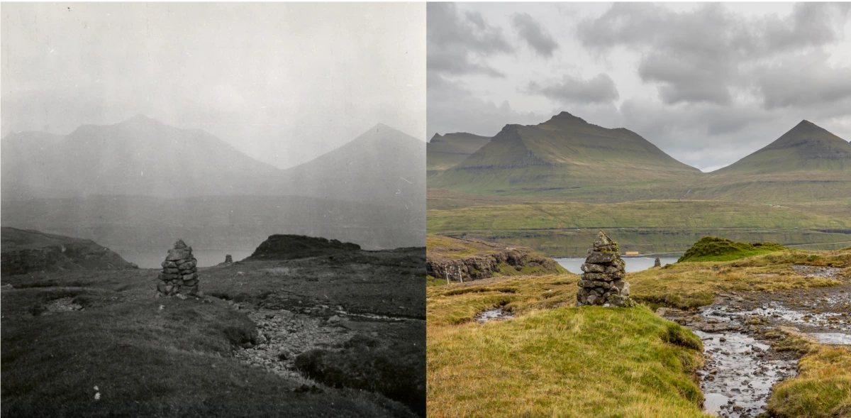
For few of the images we did not found the correct camera location but for most we could make a connection between past and present when standing at the correct position. At some positions we also found (historic?) survey markers.
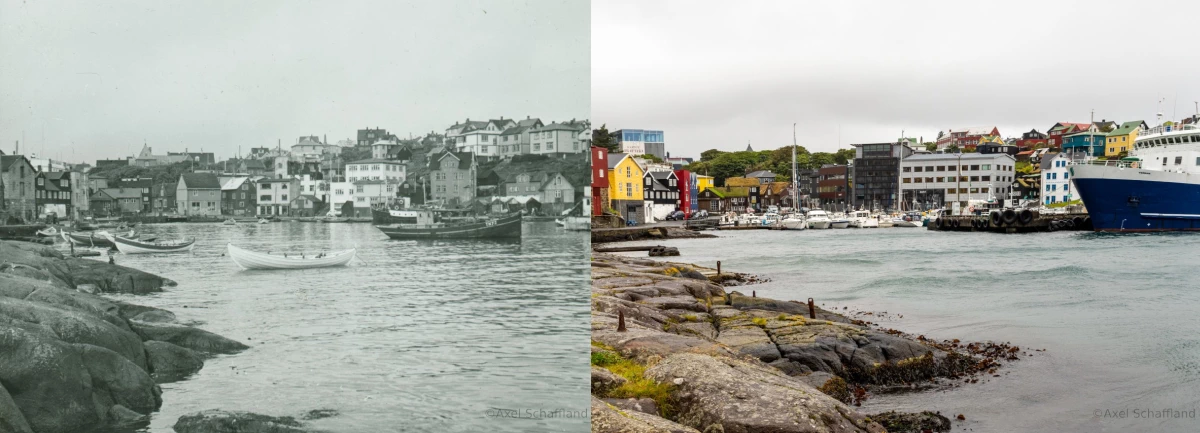
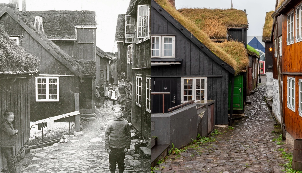
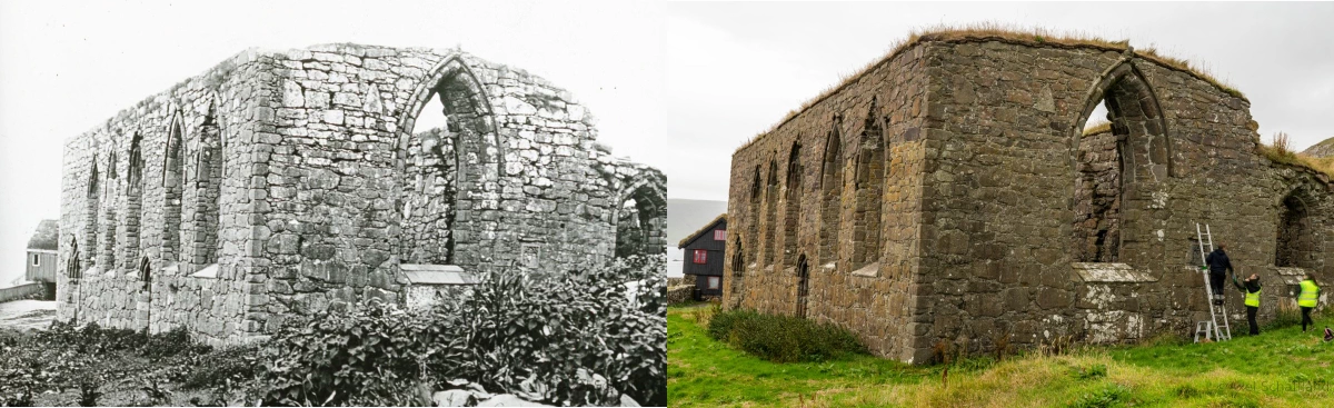
Overall we observed while rephotographing, that the Faroes are now more densily populated and that the road network is now more closely meshed. Most of the historical building are still standing. The cultural landscape change, potatoes and rhubarb are cultivated less and saw tooth fields are now pastures.
The result of the expedition is a database containing over 200 registered rephotographic compilations from the islands. The focus of the historic photographs and thus the rephotographs is on Tórshavn and Kirkjubøur.